OVEREST is the area to the west of Cray Avenue (Arterial Rd) as is Cray Valley Road it is mainly housing there are some shops. There is a shopping area called Marion Crescent which, actually, is the largest parade of shops to survive in the St. Mary Cray area. There were two public houses The Bridge House and The Seven Styles now redeveloped.
At the Poverest end there was an area called, colloquially, Slopers Island which was a small housing estate for the workers of papermills that were along the River Cray. Also here was Dippers Slip which could refer to a slipway for boats or shallow crossing of the river.
Many of the roads in this area are named after characters from the legend of Robin Hood, apparently before redevelopment there was a field called Robin Hoods Field. There was also a Poverest Farm. It is possible that the name Poverest is a corruption of the name of the original manorial owner of land "Margaret de Pouery".
At the Poverest end there was an area called, colloquially, Slopers Island which was a small housing estate for the workers of papermills that were along the River Cray. Also here was Dippers Slip which could refer to a slipway for boats or shallow crossing of the river.
Many of the roads in this area are named after characters from the legend of Robin Hood, apparently before redevelopment there was a field called Robin Hoods Field. There was also a Poverest Farm. It is possible that the name Poverest is a corruption of the name of the original manorial owner of land "Margaret de Pouery".
|
The file on the right is an article on Slopers Island written by Graham Wootton
|

|
If you right click "Download File" and choose Open in new tab you will stay with this site
| ||
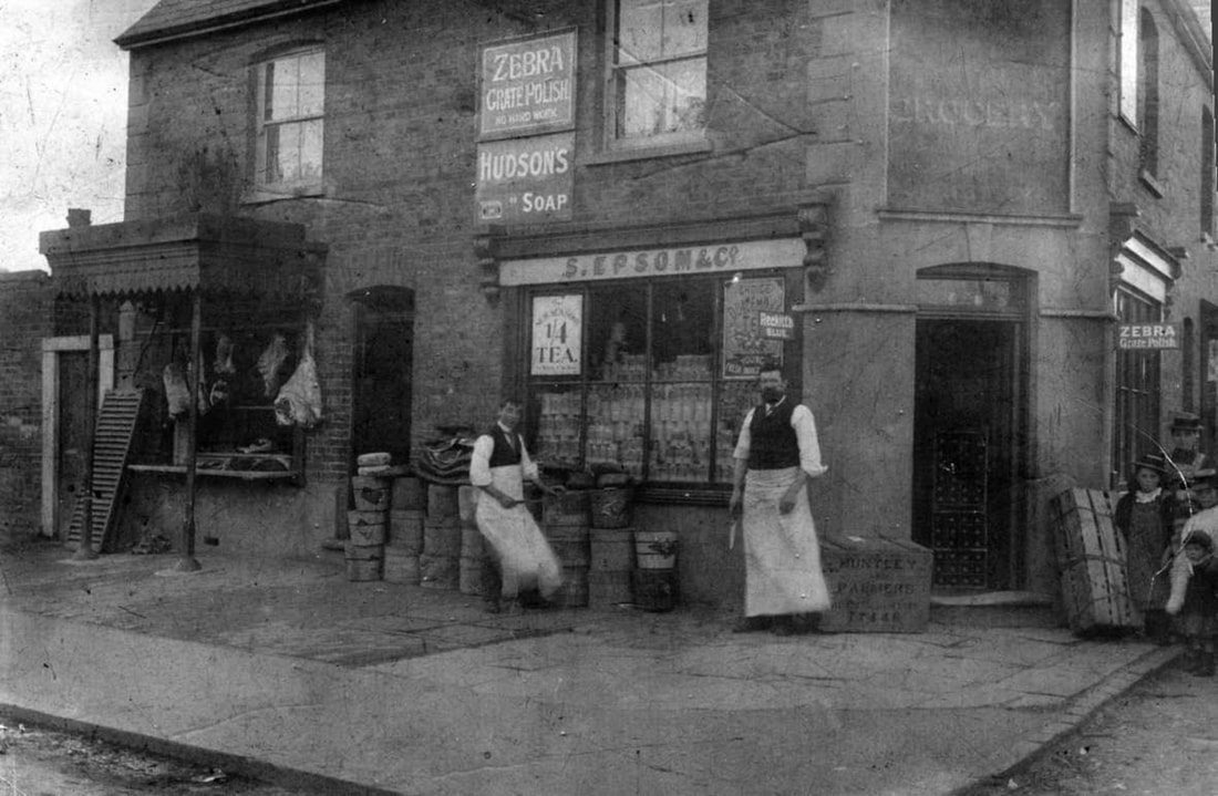
Corner of Bridge Road/Poverest Road. Solomon Epsom who was sadly killed in the Handcross Motor Bus Accident, 1906.
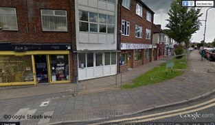
Marion Crescent
|
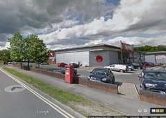
Cray Valley Rd, where the Bridge House once stood
|
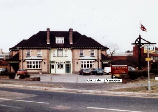
Pilgrims , formerly the Bridge House
|
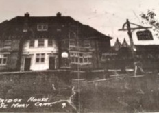
Bridge House with Oast Houses
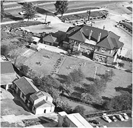
Bridge House from above
|
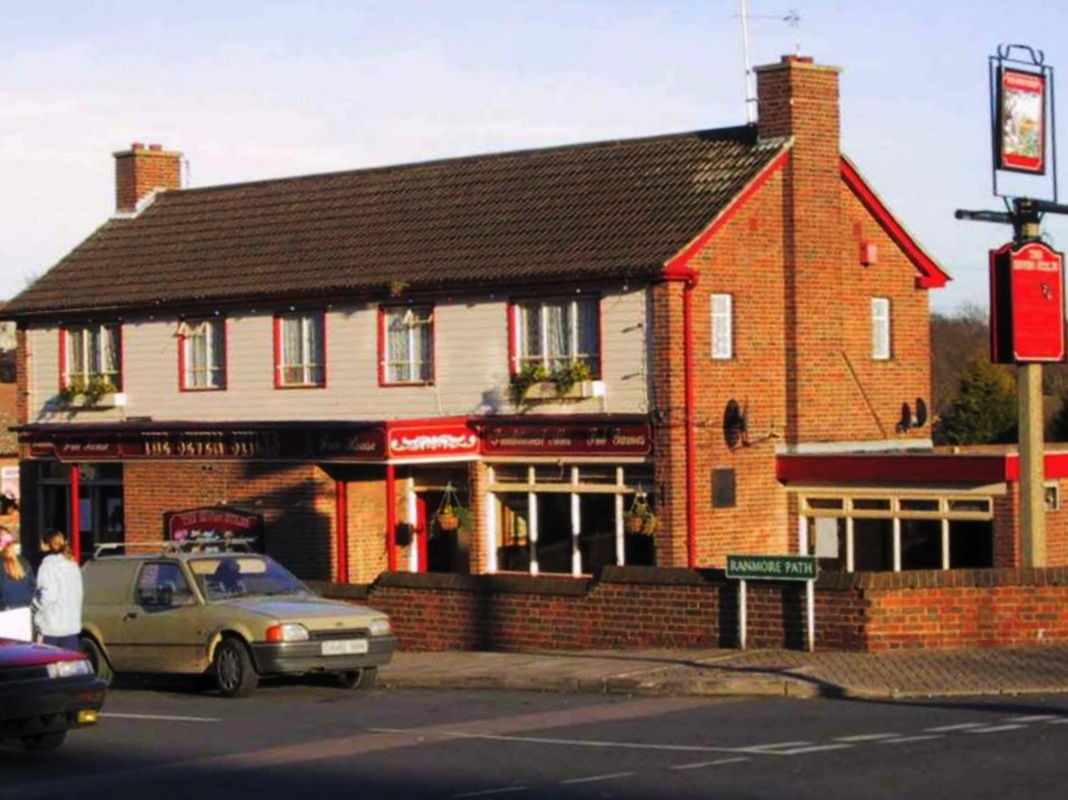
The Seven Stiles
|
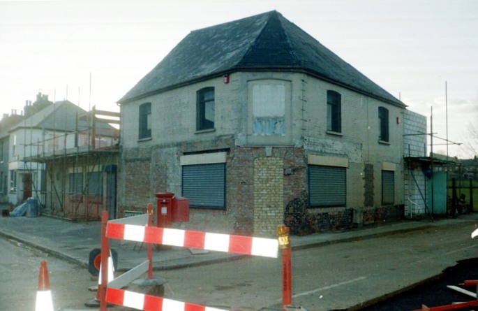
Corner Bridge Rd. varied history: Industrial clothing, motoring accessories. Intended as a Public House when built.
|
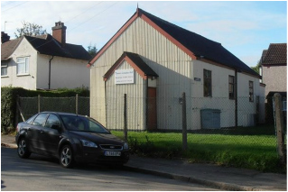
Coronation Hall, corner Bridge Road and Fordcroft Road
|
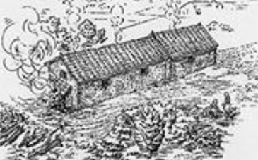
Image description of Roman bathhouse
|
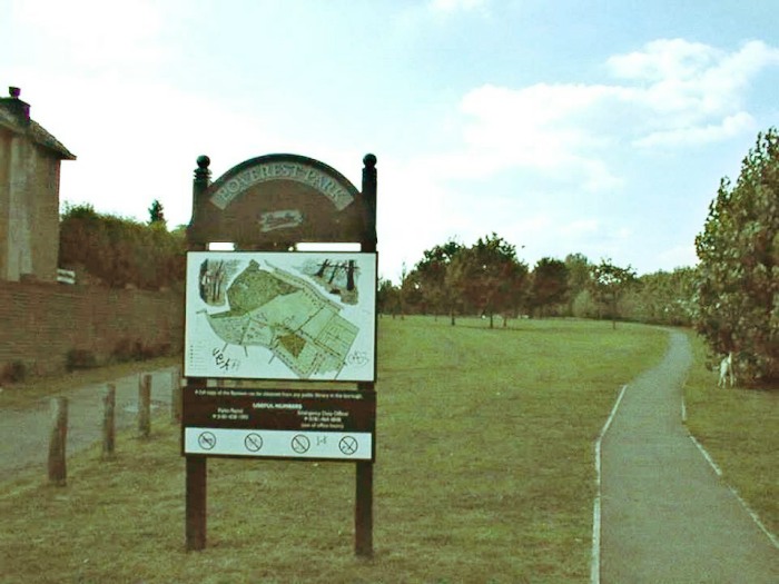
Entrance to Poverest Park
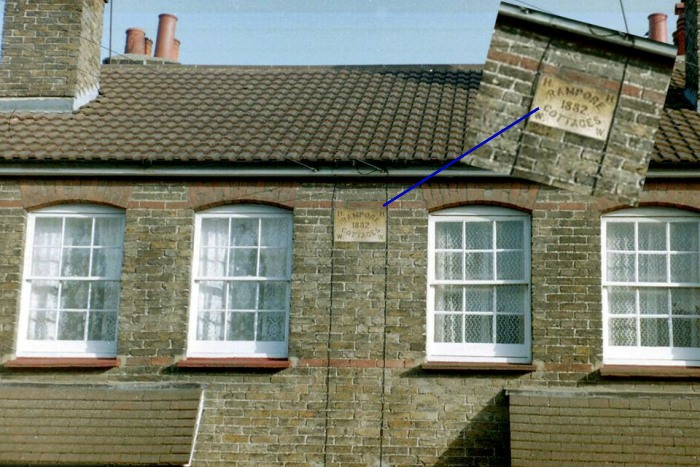
Rampore Cottages 1882
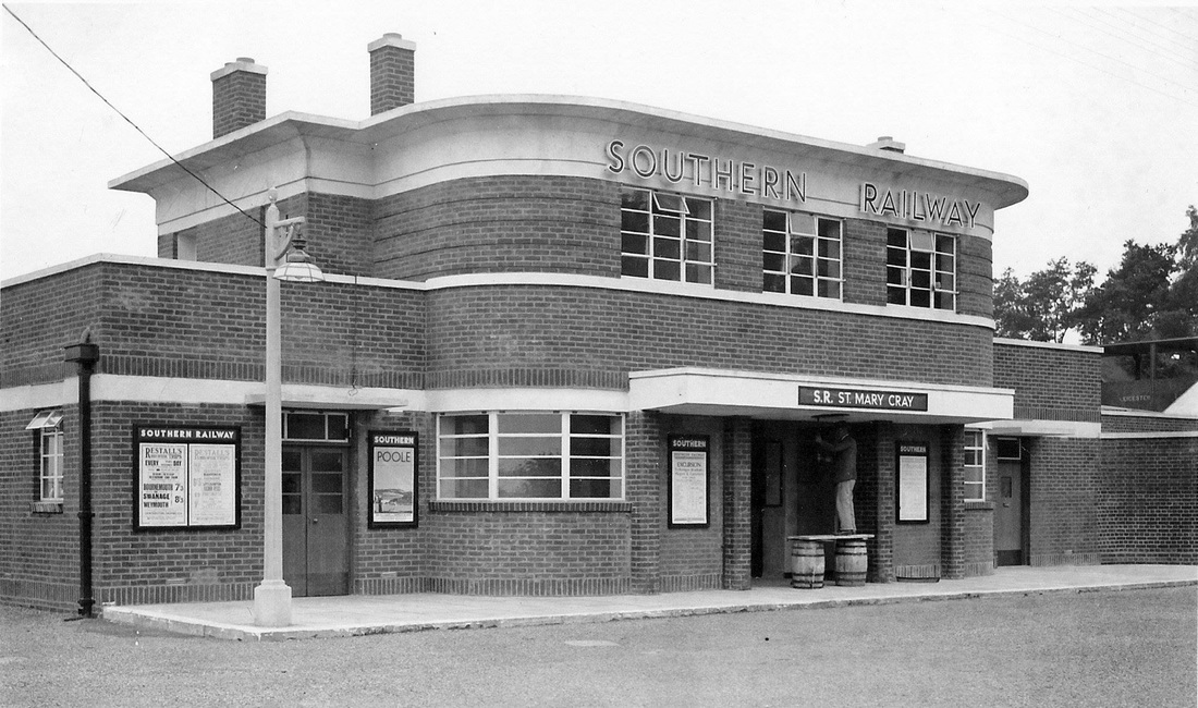
South side of St. Mary Cray Station built for the new estates. Before the 1930s there was only one entrance in Station Approach on the North side.
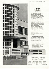
oetlings
|
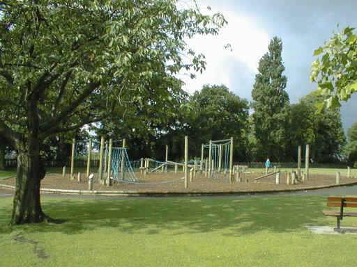
Poverest Park
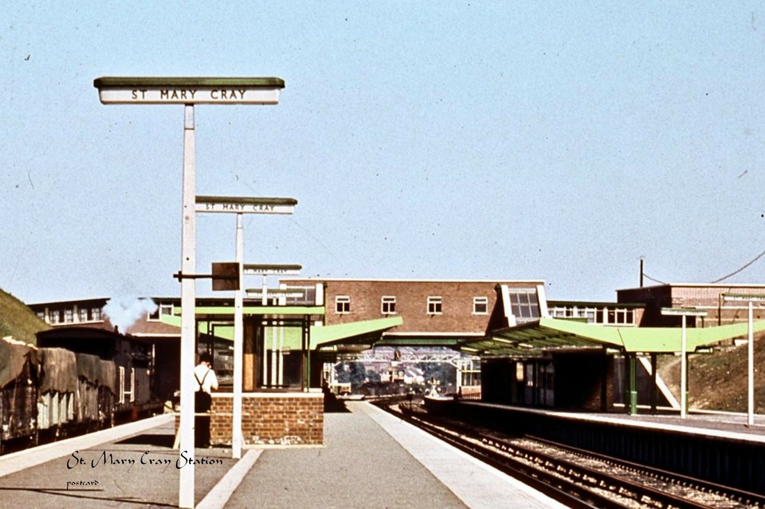
Cray Station
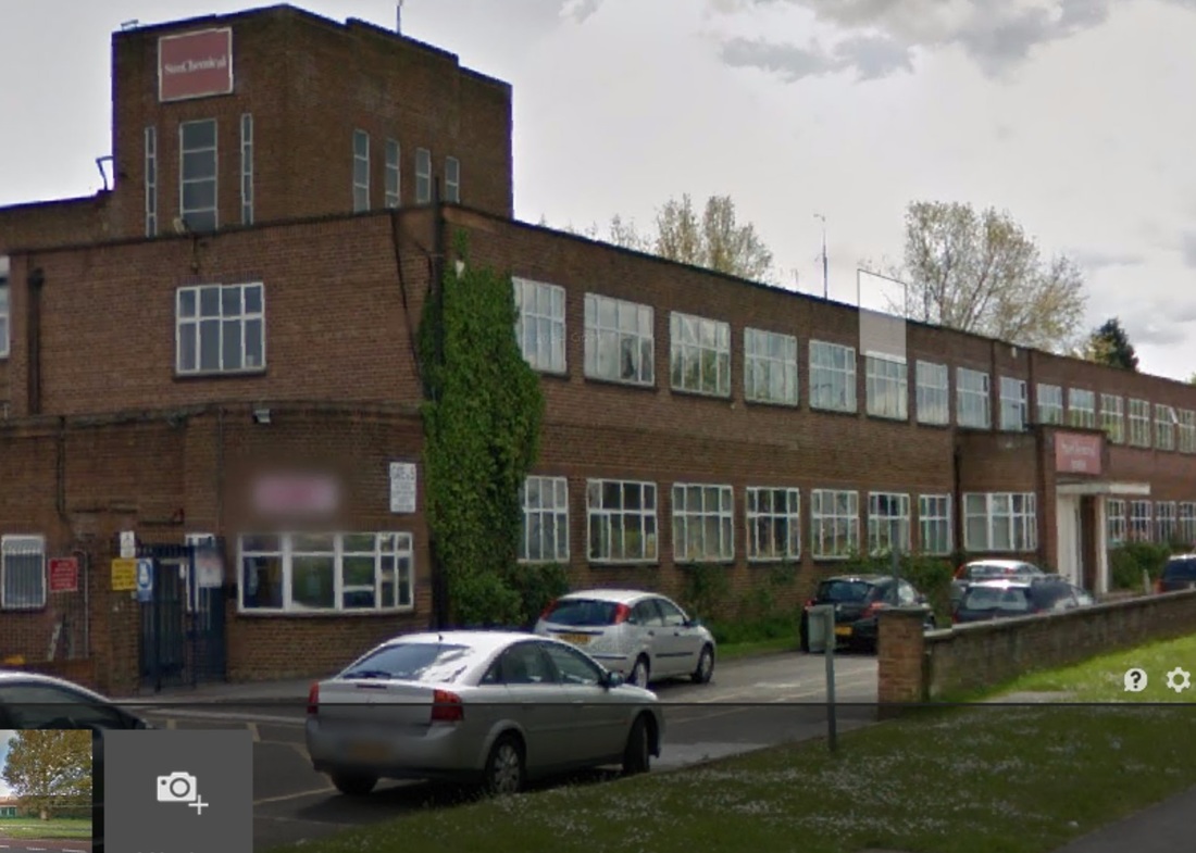
from Google Sun Chemicals
|